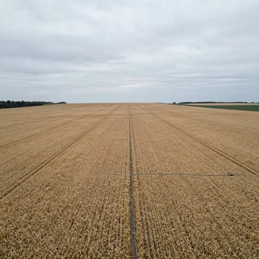
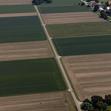
Verified Acreage
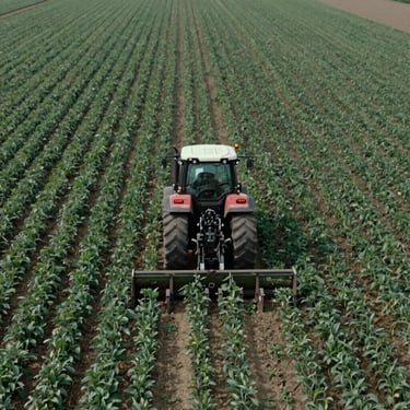
Documented working farms and agricultural land.
Access raw soil profiles, water-right documentation, and high-resolution aerial mapping for high-utility agricultural assets.
Technical Data
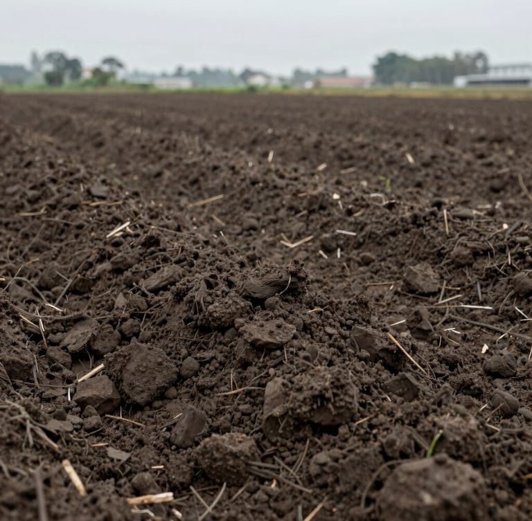
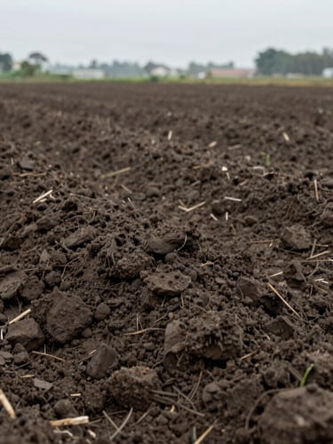
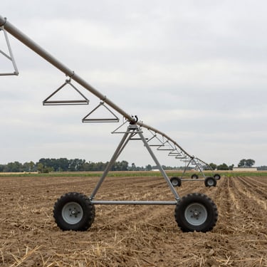
Soil and water metrics
Every parcel in our registry undergoes rigorous soil core sampling and historical water-right verification. We provide raw, un-embellished data sheets so you can assess true utility.
Registry Standards
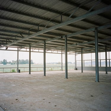
Soil Quality: Complete USDA classification reports. Water Rights: Fully documented senior water allocations. Infrastructure: Verified structural integrity of outbuildings.
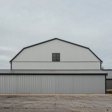
Asset Portfolio
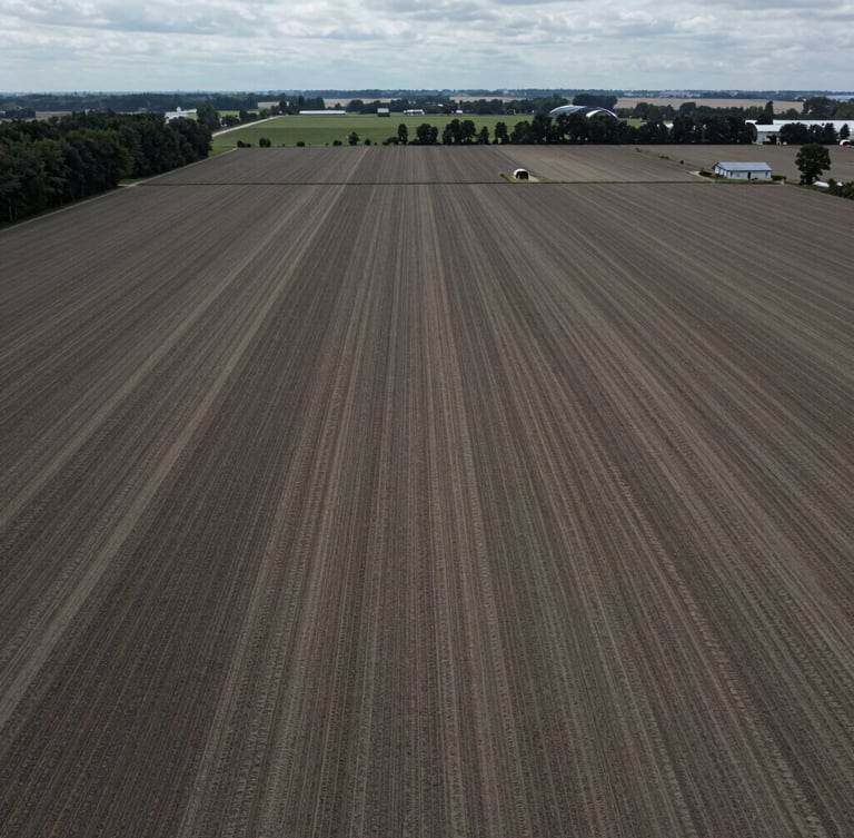
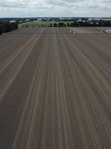
Unfiltered visual documentation
High-resolution aerial profiles and raw structural details of current listings.
Acquire verified agricultural assets.
Request complete documentation packs, soil core samples, and water-right registries for any listed parcel.