
Verified physical asset registry.
Absolute visual transparency for high-value land parcels, residential estates, working farms, and specialty vehicles. Access raw technical specifications and verified boundaries without marketing fluff.


Four core asset classes
Every listed asset undergoes rigorous on-site verification. We document structural integrity, raw boundary dimensions, and mechanical specifications with complete transparency.
01 / Land & Lots
02 / Residential Houses
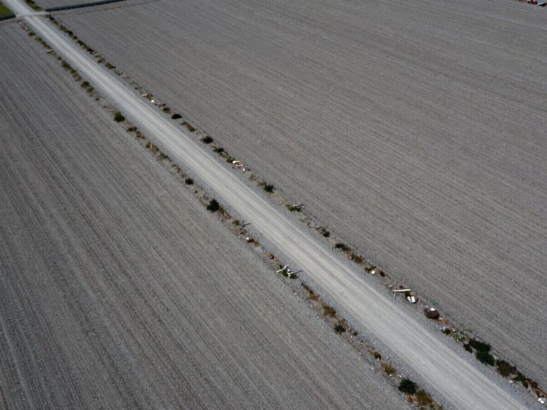
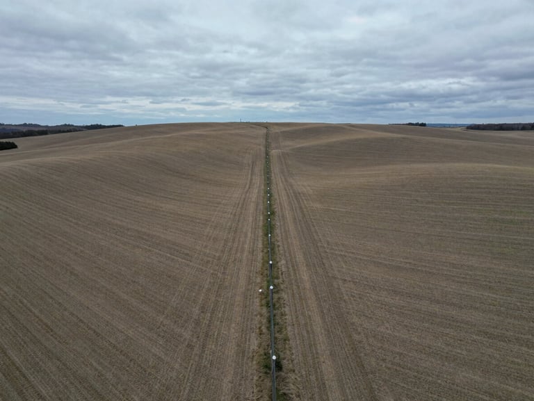
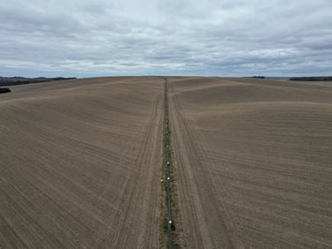
Raw acreage, development-ready parcels, and surveyed lots. Complete boundary mapping and access road documentation are provided for every tract.
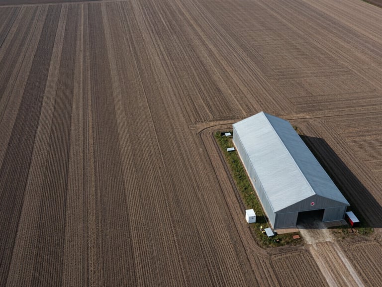
Architectural structures and private estates. Un-staged interior photography and complete structural integrity reports accompany each listing.
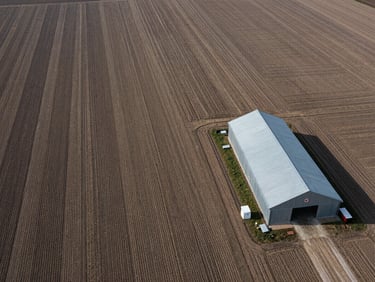
03 / Farms & Acreage
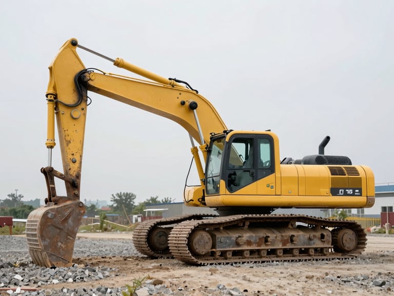
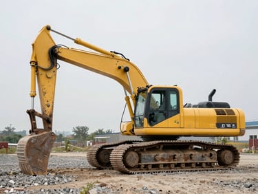
04 / Specialty Vehicles
Working agricultural lands, timber tracts, and expansive acreage. Soil composition data, water rights, and utility access points are fully logged.
Collector-grade machinery, heavy equipment, and commercial assets. Full mechanical logs, service histories, and operational videos are cataloged.
The verification process
On-Site Mapping
Structural Logging
Registry Publication
Our field teams deploy wide-angle drone mapping to establish absolute boundary lines and assess physical access points under natural light.
Architects and mechanics conduct un-staged assessments, compiling raw specifications and structural integrity reports without cosmetic alterations.
Verified data, high-resolution photo sets, and technical documents are uploaded directly to our secure catalog for immediate buyer access.
Verified scale
48,200
Mapped Acres
184
Logged Assets
100%
Direct Access
Acquire documentation packs
Direct access to raw CAD files, boundary surveys, and structural integrity reports is restricted to verified buyers. Request your access credentials today.