Technical Data
Raw parcel specifications.
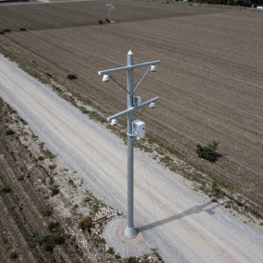
Every listing includes verified boundary surveys, soil reports, and utility access mapping. We document the physical reality of the land so developers can assess viability instantly.
100%
Verified boundaries
0%
Staged imagery
GIS
Mapped coordinates
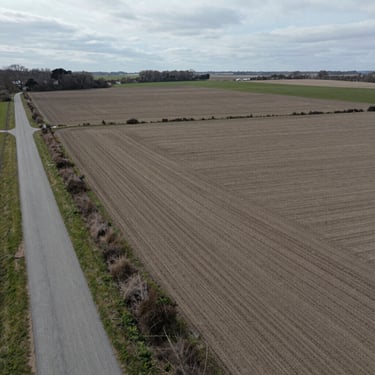
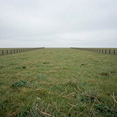

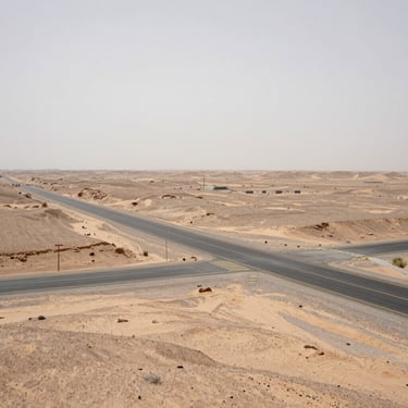
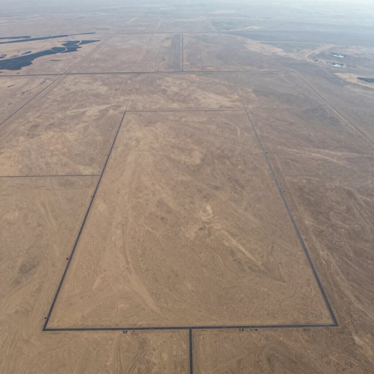
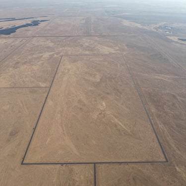
Unfiltered Views
Aerial boundary documentation
High-resolution drone photography capturing access roads, topography, and surrounding terrain under natural overcast daylight.
Acquire verified land
Request complete technical documentation packs, GIS coordinate files, and boundary survey records for any listed parcel.